
According to scientists, the devastating earthquake that struck on Saturday the Nepal could have caused permanent changes of the Earth's surface, and have made Everest a bit higher or a little lower.

A team of geologists of the U.S. Geological Survey (USGS) in Pasadena is already at work to study the issue, and must retrieve data from a GPS station near the mountain within the next 11 days. Explains Kenneth Hudnut, USGS geophysicist and expert on earthquakes.
Hudnut and colleagues have begun to analyze seismic data and satellite for the Saturday earthquake, whose magnitude was estimated at 7.8 on the Richter scale, in order to better understand
the incident and the risk of future earthquakes. Preliminary models that have developed, yet to hone, suggest that Mount Everest and the surrounding area have moved a few inches both vertically and horizontally.
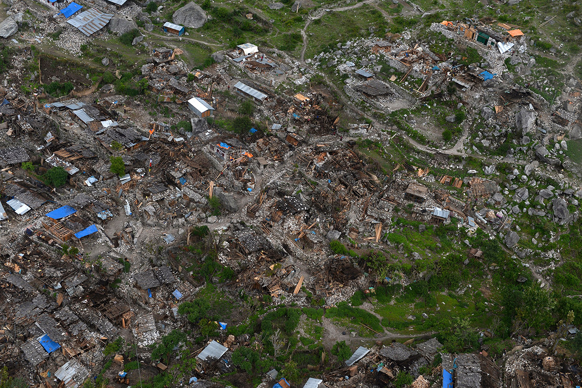
The city of Kathmandu instead, closer to the epicenter than Everest and badly damaged by the earthquake, may have moved even one meter. According to Jackson, the movement of rocks along the San Andreas fault near the town may have reached three meters.
Source: http://www.nationalgeographic.it/ambiente/disastri-naturali/2015/04/29/news/il_terremoto_in_nepal_ha_abbassato_l_everest_-2587696/
The Day After


No comments:
Post a Comment